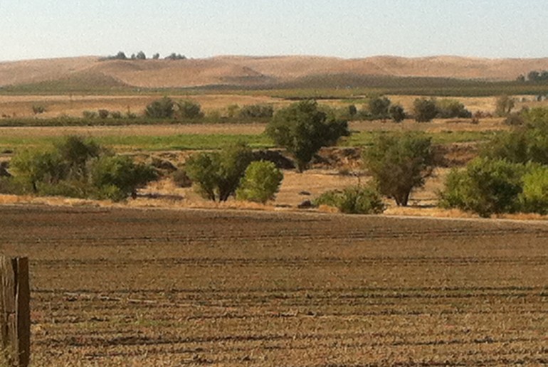
Paso Robles Basin Study
Groundwater Model Update and Basin Study
The Paso Robles Groundwater Basin (Basin) encompasses a 790‐square mile area in the upper Salinas River watershed in Central California. During the last 15 years, the area has experienced both a growth in population as well as an increase in water use from a burgeoning wine industry. In 2012, the San Luis Obispo County Flood Control and Water Conservation District (District), along with other Basin stakeholders, recognized the need to begin a comprehensive groundwater basin study to better understand the basin’s hydrogeology, and to implement long range water resource planning tools to prevent critical overdraft.
The District and stakeholders recognized the need to update the Basin’s existing groundwater model. Geoscience served as part of a team to develop an up‐to‐date numerical groundwater flow model, which the District and stakeholders could use as a precursor for evaluating potential projects and programs for future basin management.
Making effective use of available data, along with GIS and other data collected, Geoscience developed a model that could support the District’s future model updates, as well as any related groundwater management efforts. Geoscience also conducted a new water balance analysis, evaluating rainfall recharge, subsurface inflow, stream‐groundwater interactions, agricultural irrigation rates, rural water use and groundwater storage change. Geoscience also calibrated the Basin Watershed Model, extending the analysis from the Basin to the surrounding watershed, by cost‐effective use of recent data and geographical and modeling software, therefore providing the District with a more comprehensive planning tool.
Geoscience’s approach included the:
- Review and analysis of available and acquisition of current data to update the groundwater basin model to water year 2011
- Development and calibration of the Basin Watershed Model
- Update of groundwater basin water balance and safe yield
- Development and performance of basin management scenarios, including supplemental water supply option

The Paso Robles groundwater basin has undergone explosive growth over the past decade. Recognizing the need for comprehensive groundwater basin study, local water officials turned to Geoscience.
Details at a Glance:
Client: San Luis Obispo County Flood Control and Water Conservation District
Date: Ongoing
Contact to learn more about this case study.
We are a team of degreed geologists and engineers developing the best solutions for sustainable groundwater. Contact us for reliable results.
Discover more case studies
Pismo Beach Regional Groundwater Sustainability Project
Client Profile The City of Pismo Beach, a member of the Northern Cities Management Area (NCMA) of the Santa Maria Groundwater Basin in San Luis Obispo County, California, needed groundwater sustainability solutions. The NCMA gets water from three major sources—Lopez Lake (surface water), the State Water Project Coastal Branch (imported water), and groundwater pumping. Each […]
Read moreSouth Orange Coastal Ocean Desalination Project
Client Profile South Coast Water District (SCWD) provides potable water, recycled water, and wastewater services to 35,000 residents, 1,000 businesses, and 2 million visitors per year in south Orange County, California. Challenge Brackish water occurs in natural environments where fresh and salt water mix and has salinity levels registering between freshwater and seawater. Primarily, brackish […]
Read morePure Water Oceanside
Challenge For decades, the City of Oceanside relied on imported water for more than 85% of its supply to its customers, with less than 15% coming from local supplies in the Mission Ground Water Basin and a 0.7-mgd Recycled Water Facility. Since the turn of the century, the City has been seeking ways to reduce […]
Read more