The Company

From our founder’s pioneering groundwater work in the 1960s to today’s team of engineers, geologists, and hydrologists, Geoscience remains focused on delivering robust solutions for clients’ groundwater needs

A black and white image of Dennis Williams sitting at a desk in an office. Behind him are a vintage computer on a side console, book shelves full of stacked and leaning rows of books, and wood-paneled walls. Dennis Williams is wearing wire framed glasses, a dark suit, a white shirt, and a dark tie.

1965-70

Dr. Williams is awarded a PhD in groundwater hydrology and joins LADWP

• Developed an electrohydraulic arch tool to clear clogged artesian wells
• Developed shape charge explosive device to lower into basaltic aquifer wells to improve water production.

Dr. Dennis Williams crouches in a field next to an artesian well as water gushes upwards from a pipe protruding from a cement pad surrounded by mud. The field is lush with crops, and trees stretch into the distance under a partly cloudy sky. Dr. Williams is wearing a white shirt and brown pants and is taking notes on a paper pad balanced on his knee.

1970-78

Dr. Williams returns to consulting work in the US, Iran, India, and with the UN Development Program

• Developed First Seawater Intrusion Barrier in Middle East in conjunction with friend and colleague Neil Cline, Former GM of OCWD and SAWPA
• Gorgon Project –150 deep-water supply wells with Joe Sovella, former GM of Laguna Beach WD
• First Use of SCADA systems for Remote Monitoring and Management of Wellfields along Caspian Sea

A person in a white shirt is leaning over a drafting table, using a pen and straightedge to sketch out innovative groundwater solutions. The drafting lamp illuminates this intricate work, showcasing our dedication and expertise in sustainable practices.

1978

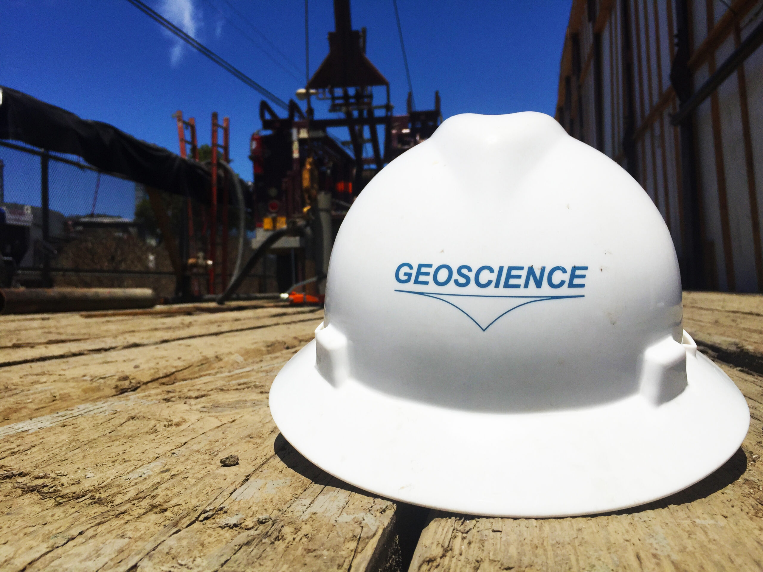
Geoscience Support Services incorporated

A black-and-white image of a vintage Geoscience Mainframe computer setup with a large minicomputer and an old-fashioned terminal. This is the original computer used to build digital groundwater models.

1979

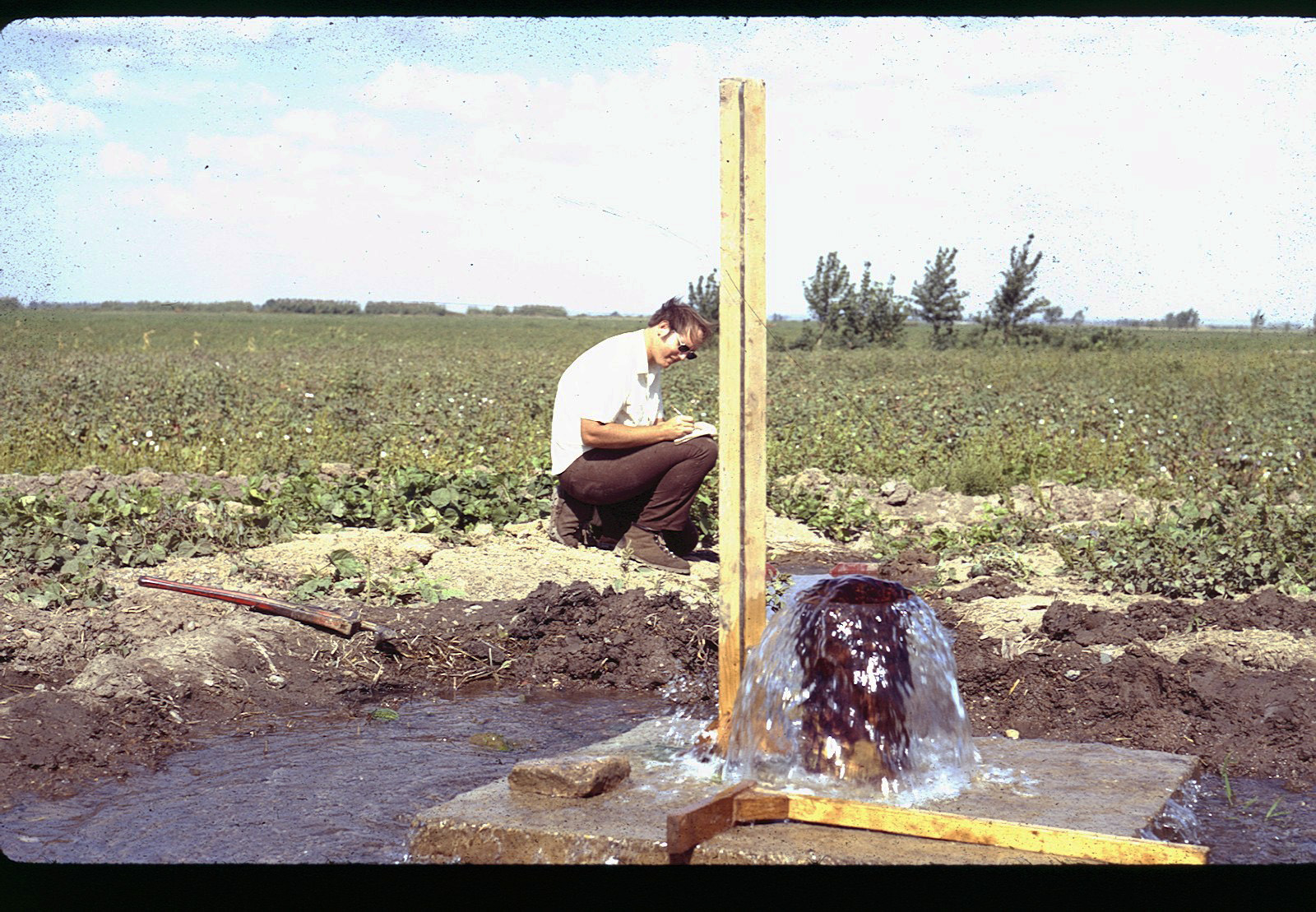
Geoscience develops current aquifer zone testing methods

• Screens groundwater quality prior to well construction
• Current best practice used industry-wide

A vintage image with faded saturation showing the inside of a well casing and well screening case, which is a half of a metal tube scored with louvers in parallel perforations like fish scales down the length of the tube.

1980

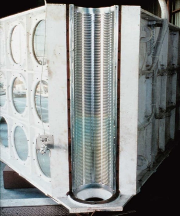
Designed the world’s largest aquifer model in collaboration with Roscoe Moss Company

• Full scale well model used to develop current best design practices for water well screen and filter pack

A black and white image of a digital groundwater model from Geoscience's history when such models were rendered on paper using computers plotting lines with an XY mechanism holding a marker.

1981

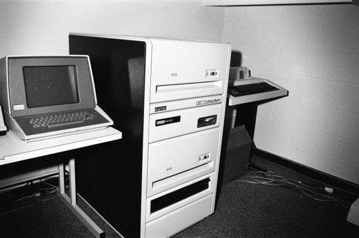
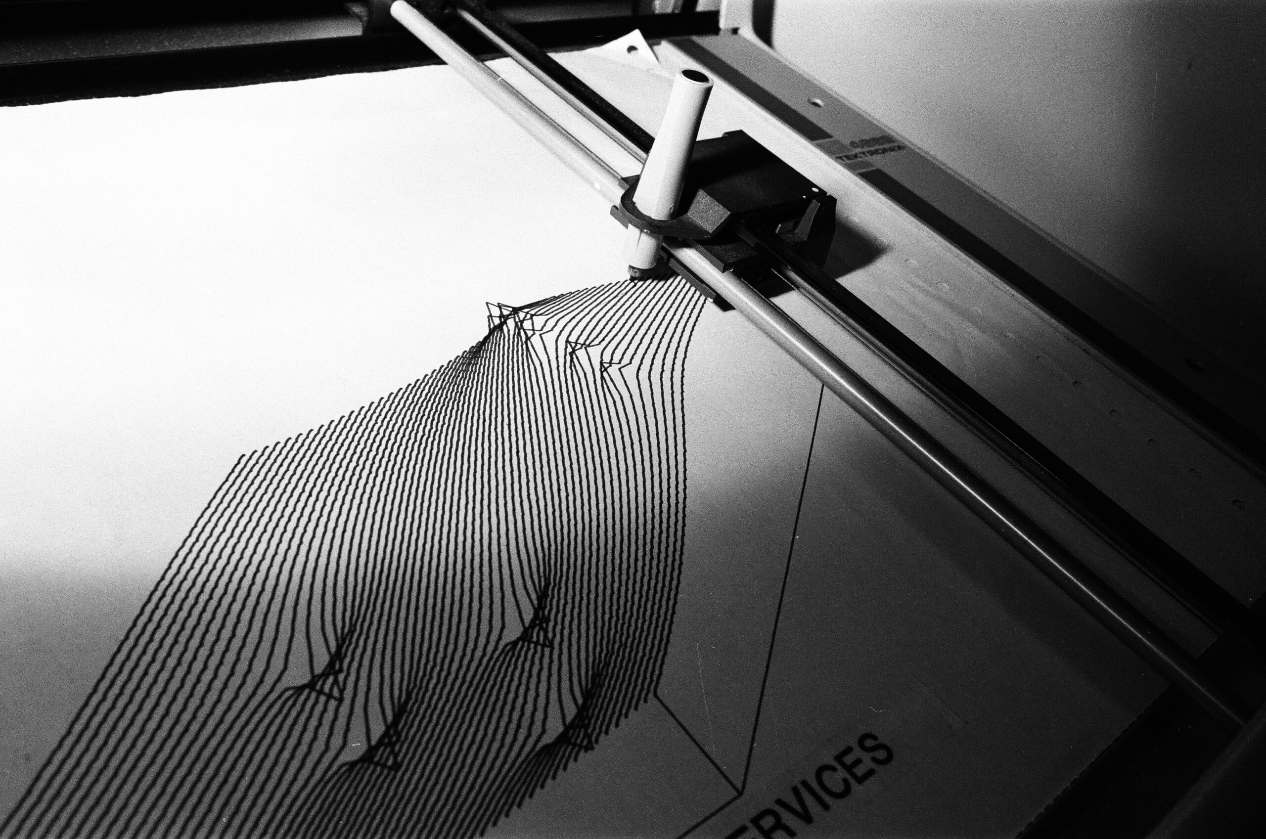
First modern, digital groundwater models

• Created computer code for digital groundwater modeling
• Developed for Orange County Water District Seawater Intrusion Barrier and Rancho California Water District
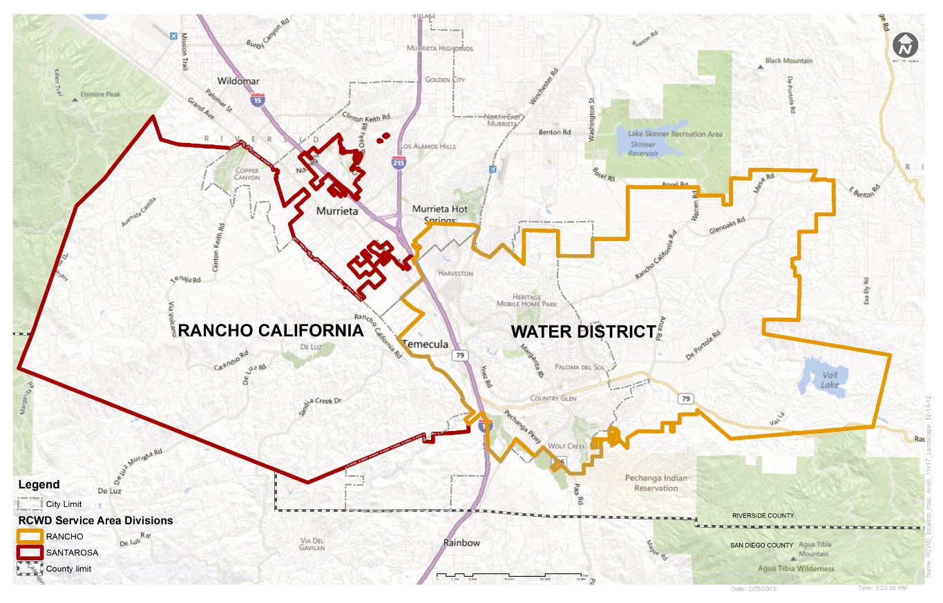
Map displaying the Rancho California Water District service area, with sections outlined in red and yellow. It includes Murrieta and Temecula, showcasing roads, natural features, and city limits. A legend highlights our groundwater solutions within service area divisions.

1981

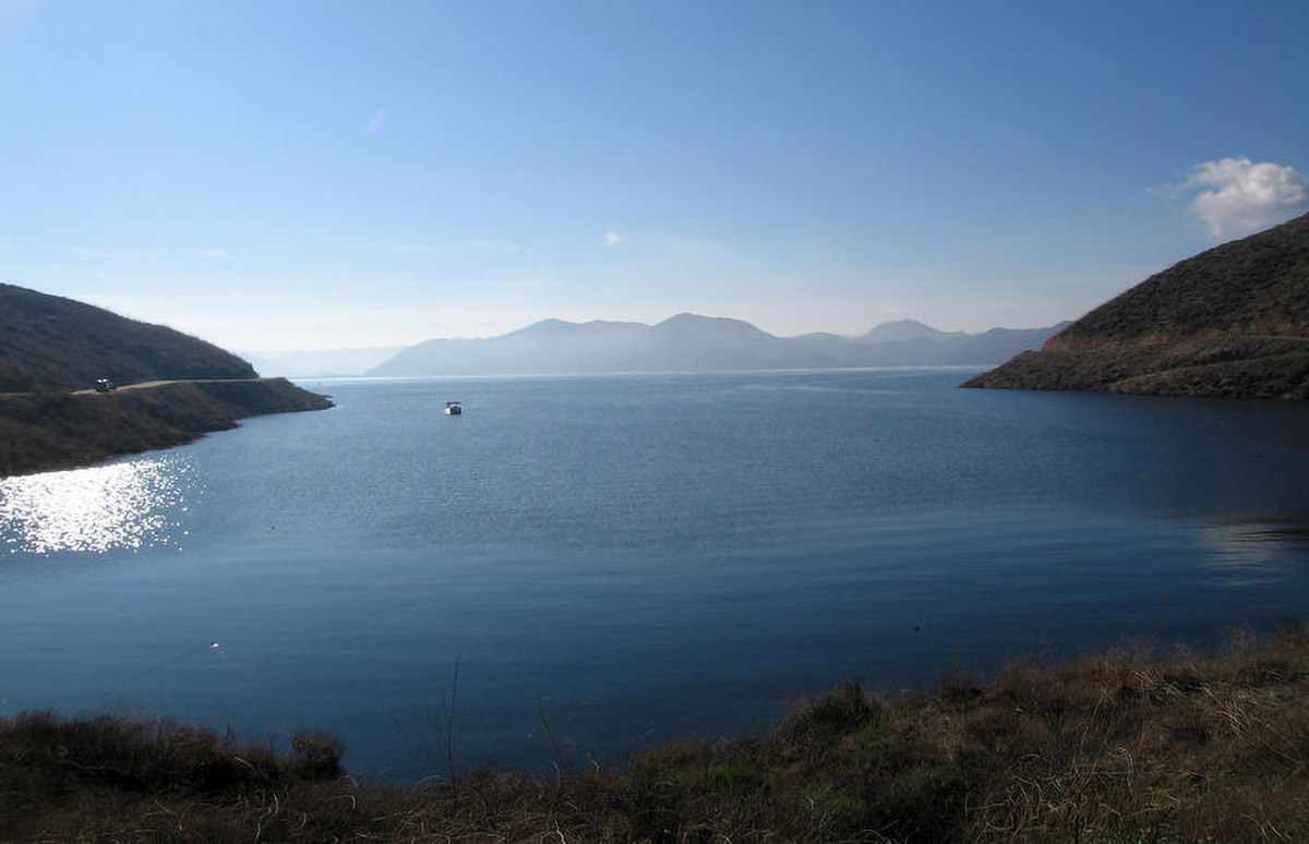
First groundwater audit completed for Rancho California Water District

• Set paradigm for California’s Sustainable Groundwater Management Act, including technical details and content, passed in 2014

A page titled Modern Techniques in Well Design by Dennis E. Williams. It features columns of text discussing research and technology in well construction, with a focus on reducing costs and improving efficiency.

1985

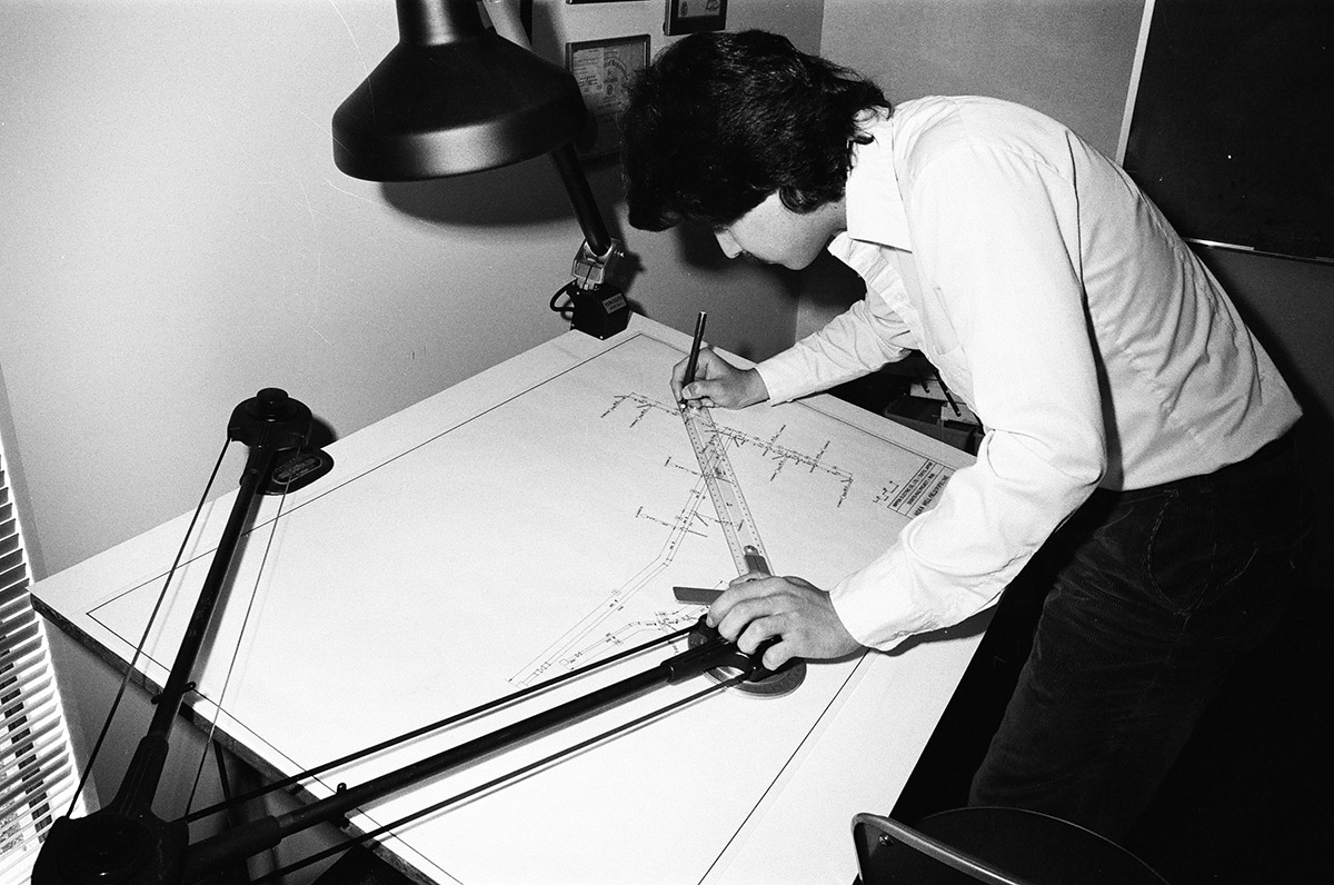
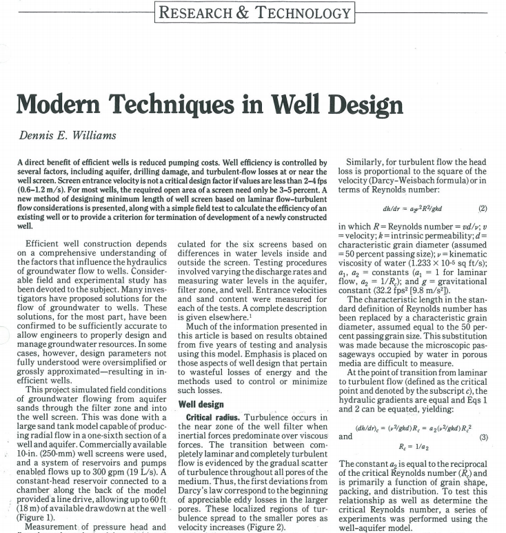
Publication of Modern Techniques in Water Well Design

• Established Well and Filter Pack design, which remain current best practice
• Served as the basis for current Well Design Standards adopted by AWWA

Close-up of several Geoscience documents overlapping on a blue surface, showcasing technical drawings and a seal.

1988

Supported Brazilian oil company Brasoil in litigation against the Government of Libya

• Centered on Great Manmade River Project involving more than 700 wells that failed due to faulty design
• Settled by International Arbitration

A serene lake under a clear blue sky, surrounded by hills. The sun casts reflections on the water as a single boat floats near the center. Distant mountains are visible through a light haze, echoing the tranquility that inspires us in our groundwater solutions. Dry grass lines the foreground.

1994

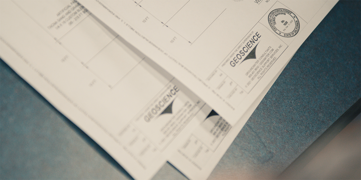
Diamond Valley Lake Recovery Well project

• Lead groundwater hydrology firm for project

Topographic map showcasing an outlined region in the Murrieta Valley in California with blue runoff channels marked. Various geographical features and grid lines are displayed across the terrain.

1995

Collaboration with the USGS to review first integrated groundwater models and code

• Geoscience partners with USGS to review new Modeling Code
• First USGS Integrated Surface Water and Groundwater Model

A close up of a white Geoscience hard hat with a blue logo inscribed on the front. The hard hat sits on a wood plank platform with well drilling rigging and vehicles in the background.

1999

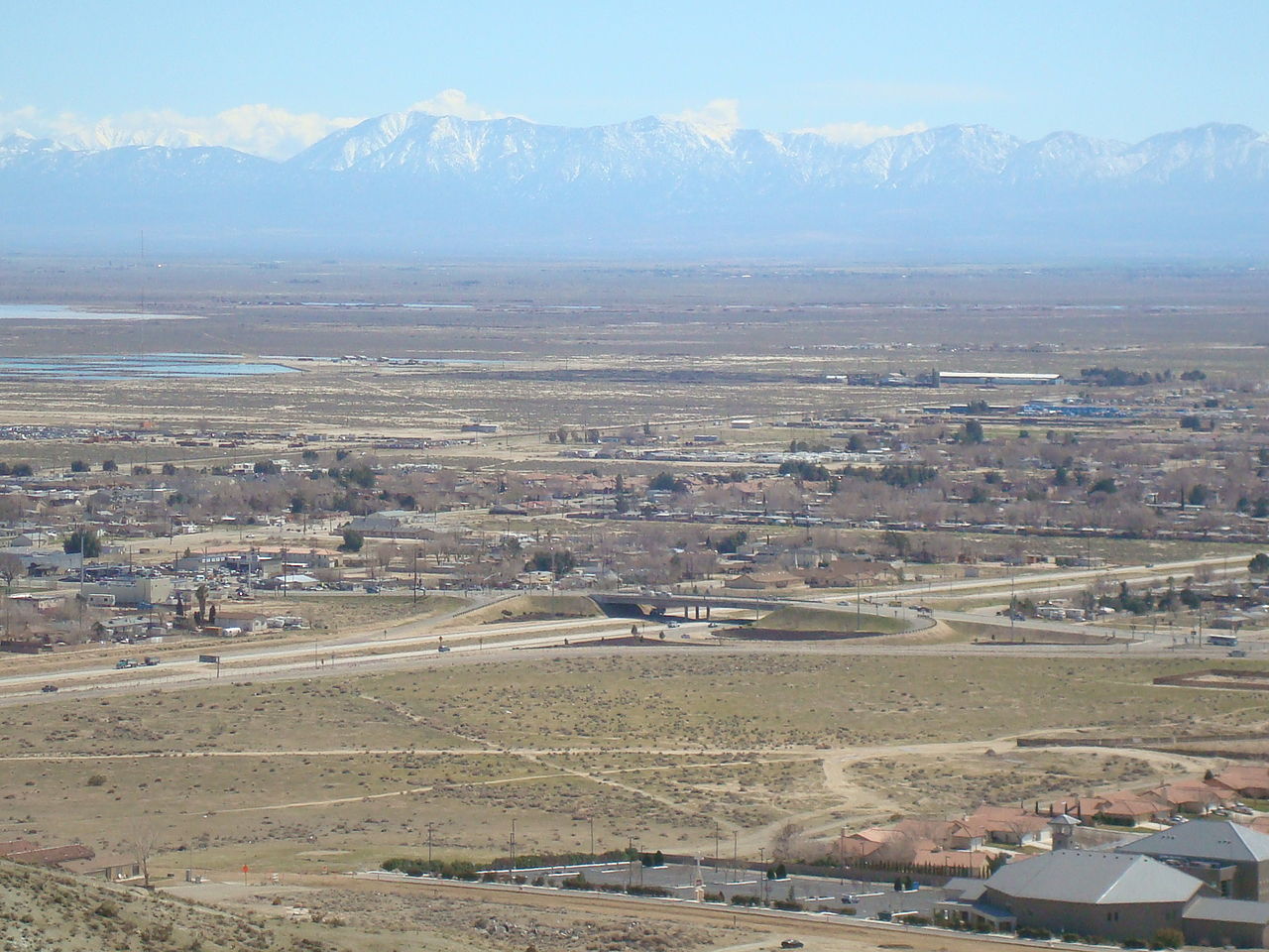
Antelope Valley Adjudication begins

• Developed groundwater model

A group of people play volleyball in the sand on Doheny beach in Dana Point, California. In the background, behind a safety fence, a large construction crane supports a well drilling rig at an angle as it drills a slant well to install an ocean water desalination intake pipe under the sea floor to access submarine aquifers. The sky is partly cloudy and a coastline is visible in the distance—the construction is not interfering with the volleyball players' enjoyment of the beach and shoreline.

2005

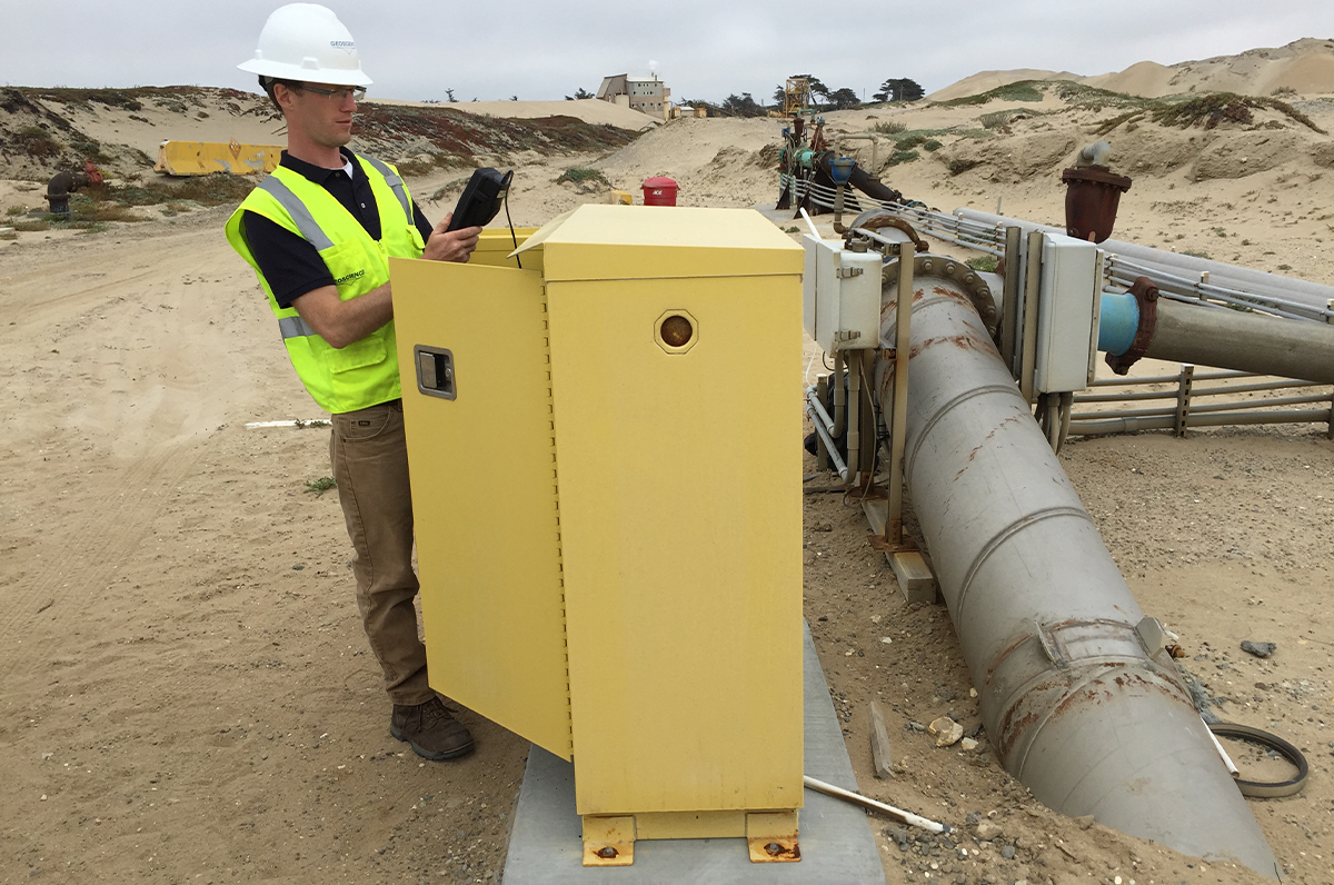
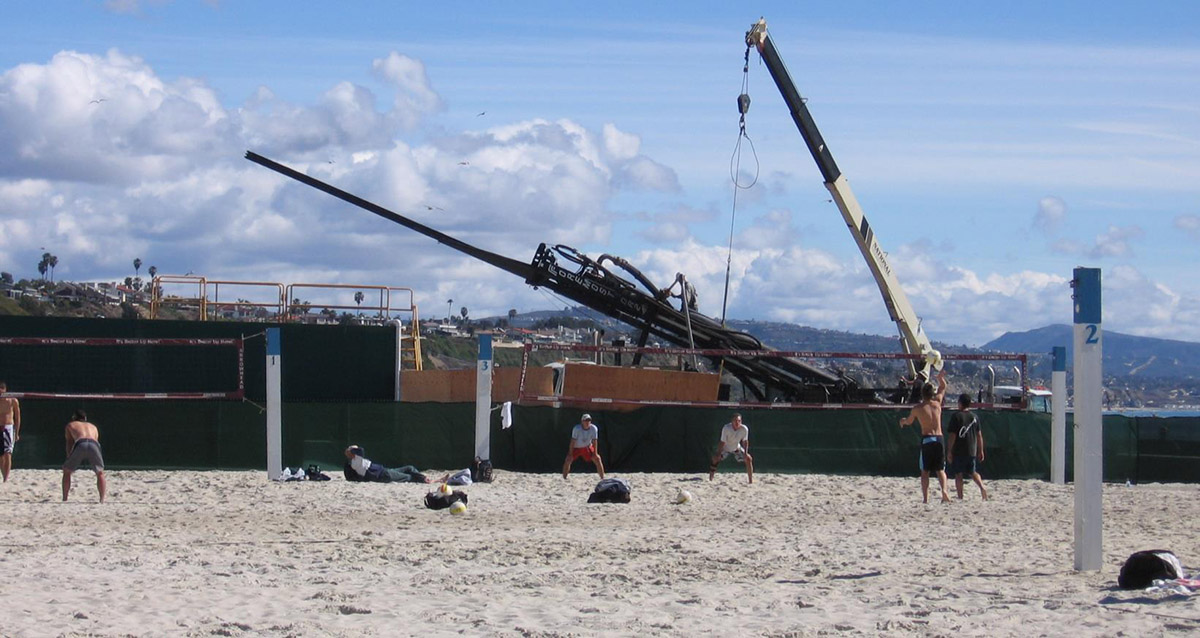
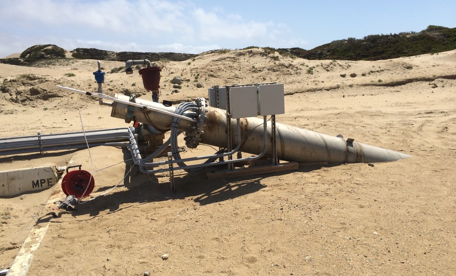
Developed Slant Well technology for seawater desalination intakes

• Current best practice for seawater intakes for ocean water desalination in California

The top of a Geoscience slant well for ocean water desalination from submarine aquifers sticks out of the sand in Monterey, CA. The top of the well pipe is surrounded by monitoring equipment enclosed in locked boxes and mounted on metal poles. They are connected to the well by multiple hoses neatly fastened together into a single bundle. In the background are sand dunes with scrubby plants growing along the ridges.

2007

First Slant Well completed

Two men stand outdoors under the sun, embodying our commitment to groundwater solutions. One wears a wide-brimmed hat and holds papers and a camera; the other wears a traditional headscarf and long robe. Theyre in front of a fence with a parked truck beside them, amid a rugged landscape.

2015

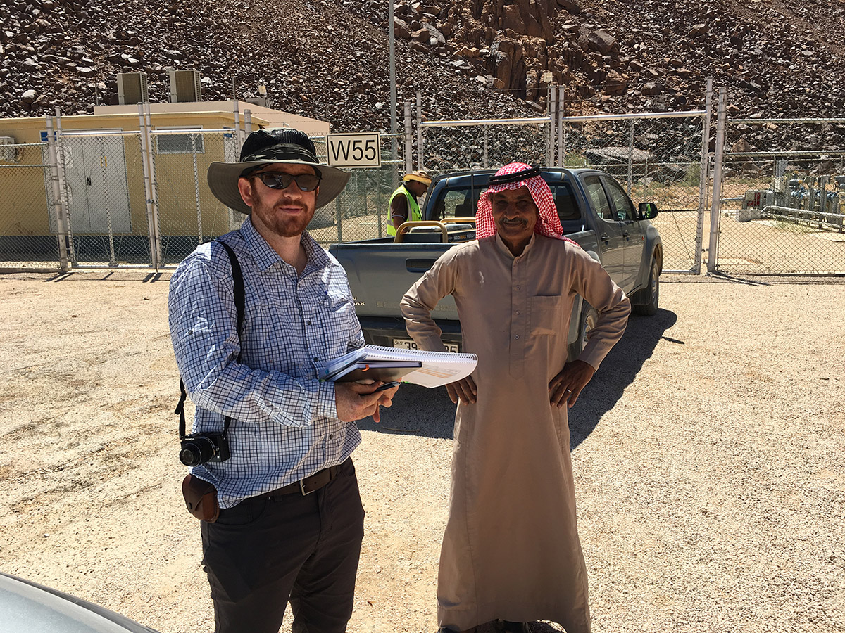
Supported litigation between Disi Water Company and the Government of Jordan

An aerial view displays a sprawling desert cityscape in the Antelope Valley, CA with a highway in the foreground. Sparse buildings and roads stretch into the horizon, while snow-capped mountains serve as a backdrop under a clear blue sky. Several settling ponds can be see in the background on the left of the image.

2015

Antelope Valley adjudication finalized

The Santa Ana River flows through a landscape with sandy banks and scattered greenery. In the background, mountains rise toward a hazy sky.

2016

Begin development of largest integrated groundwater model in California

• Incorporates 5 groundwater basins in Santa Ana River watershed
• Used as project planning and permitting tool by multiple agencies

A remote well monitoring system sits in a warehouse showing the metal support structure, electronic panels, control tanks and valves as well as the remote networking devices mounted on the top of the frame.

2018

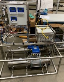
Developed remote instrumentation for well construction management

A male Geoscience employee wearing a black polo-style shirt, brown pants, work boots, a white safety helmet, and a yellow safety vest holds an electronic device while standing in front of an open control panel box. He is checking readings on pumping water from a submarine aquifer from the slant well visible at the right of the image. He is in Monterey, California and is surrounded by sand dunes with scrubby plants.

2022

Geoscience Slant Well technology serves as foundation for approval of Doheny and Monterey Desalination Plants