Glossary
GROUNDWATER AND HYDROGEOLOGY TERMS
General Hydrogeology Terms
Advection — The transport of solutes by flowing groundwater.
Aquiclude — A formation that may store water but does not allow significant flow.
Aquiclude — A geological formation that prevents water flow.
Aquifer — A geologic formation that stores and transmits groundwater, supplying water to wells and springs.
Aquifer Storage and Recovery (ASR) — The process of injecting water into an aquifer for later recovery and use.
Aquifuge — A completely impermeable rock formation that neither stores nor transmits water.
Aquitard — A layer of low permeability material (e.g., clay) that restricts groundwater flow.
Baseflow — The portion of streamflow sustained by groundwater discharge.
Capillary Fringe — The zone just above the water table where water is held by capillary forces.
Cone of Depression — The drawdown in water level around a pumping well.
Confined Aquifer — An aquifer overlain by an impermeable layer (aquitard), restricting water movement.
Darcy’s Law — A fundamental equation describing groundwater flow.
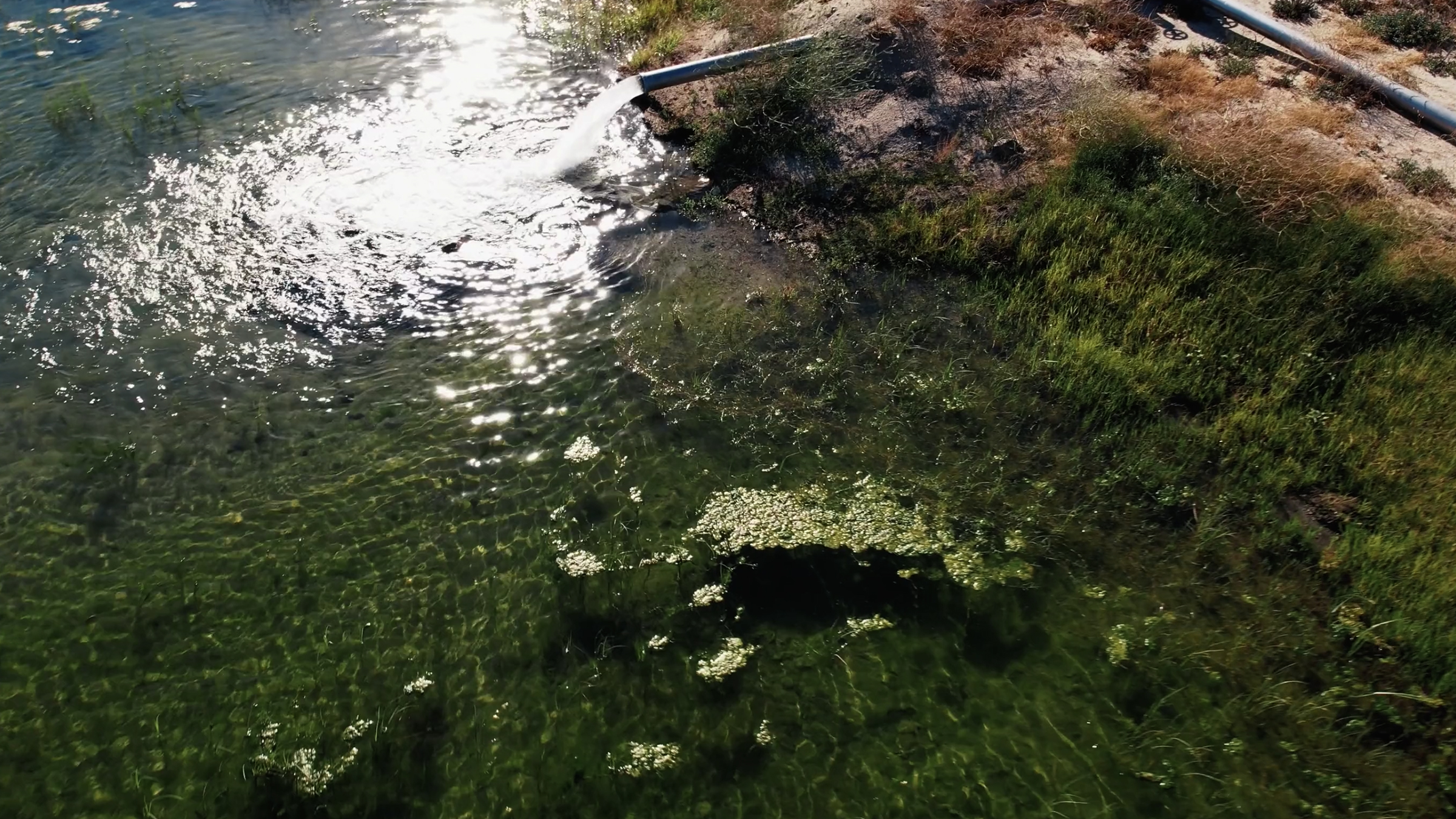
Discharge — The flow of groundwater out of an aquifer into rivers, lakes, or wells.
Drawdown — The lowering of the water table or potentiometric surface due to pumping.
Effective Porosity — The fraction of pore space through which water can actually flow.
Flow Net — A graphical representation of groundwater flow paths.
GIS (Geographic Information Systems) — A tool for analyzing spatial groundwater data.
Groundwater Basin — A distinct hydrologic region where groundwater is stored and flows.
Groundwater Divide — A subsurface boundary separating different groundwater flow systems.
Hot Topic Contaminants — Emerging groundwater contaminants of concern.
Hydraulic Conductivity (K) — A measure of an aquifer’s ability to transmit water, expressed in length per time (e.g., m/day).
Hydraulic Gradient (i) — The slope of the water table or potentiometric surface or the change in hydraulic head per unit distance, driving groundwater flow.
Hydrogeology — Studying the interrelationships between water processes and geologic materials, especially groundwater.
Hydrostratigraphic Unit — A geologic unit with distinct hydraulic properties affecting groundwater flow.
Hydrostratigraphy — The study of the distribution and arrangement of hydrogeologic units.
Impermeable Layer — A layer of subsurface materials, such as clay or dense rock, through which water will not pass.
Infiltration Rate — The water volume that penetrates soil surfaces in a specified time interval (often expressed in volume of water per unit of soil surface area per unit of time).
Infiltration — The process by which surface water flows or seeps into the ground to become groundwater, also called recharge.
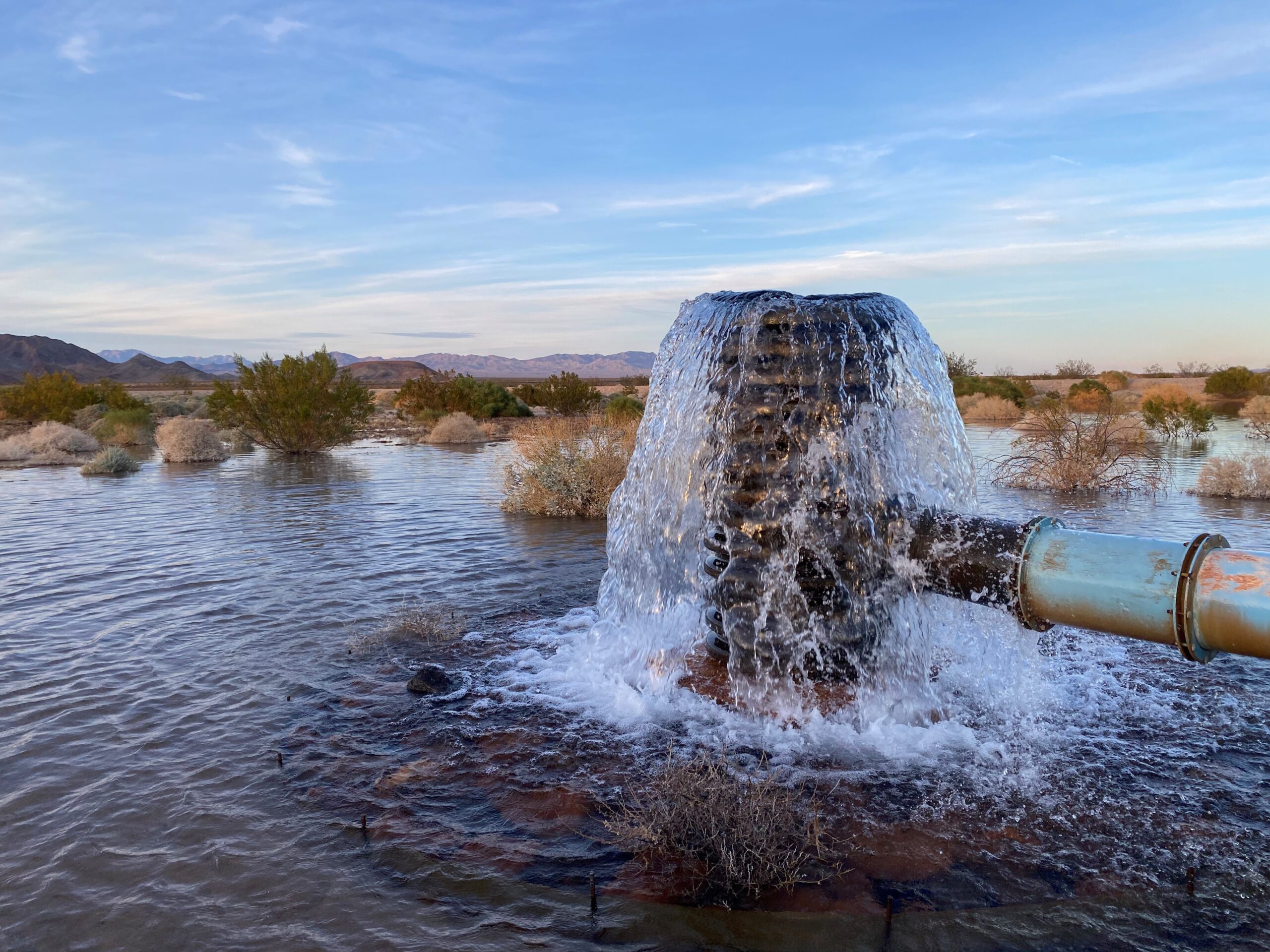
Injection Well — Wells designed to inject treated water, often wastewater, into the ground for dispersal or storage.
Interflow — Lateral movement of water through soil before reaching the groundwater table.
Leakage — The movement of water between adjacent aquifers or from surface water bodies.
Lithology — The physical characteristics and composition of geological formations.
Percolation — Water movement through the openings in rock or soil, and the portion of a streamflow penetrating channel materials to replenish groundwater.
Permeability — A material’s ability to transmit water, related to hydraulic conductivity.
Permeable Layer — In an aquifer, this is a layer of porous materials, such as rock, soil, loose sediment, through which water freely passes as it moves through the ground.
Phreatophytes — Deep-rooted plants that access groundwater.
Piezometer — A well or device used to measure hydraulic head in an aquifer.
Porosity (n) — The percentage of pore space in a material relative to its total volume.
Potentiometric Surface — The hypothetical water level to which groundwater would rise in a well tapping a confined aquifer.
Recharge — The process by which water infiltrates from the surface into an aquifer.
Seepage — The slow movement of groundwater through soil or rock.
Specific Retention — The fraction of water retained in an aquifer after drainage.
Specific Storage (Ss) — The amount of water a unit volume of aquifer releases per unit change in hydraulic head.
Specific Yield (Sy) — The fraction of groundwater that drains from an unconfined aquifer under gravity.
Storativity (S) — The volume of water an aquifer releases per unit area per unit change in hydraulic head.
Submarine Aquifer — Saline aquifers under seas and oceans extending inland along coastlines.
Subsidence — The process by with land surface over an aquifer or groundwater basin sinks and deforms as groundwater is pumped and removed.
Tracer Study — A technique using injected substances to study groundwater flow and contamination transport.
Transmissivity (T) — The rate at which groundwater moves through an aquifer per unit width.
Transmissivity — The measure of an aquifer’s capability to transmit water across its entire thickness. Also called the coefficient of transmissivity.
Unconfined Aquifer — An aquifer without an overlying confining layer, where water can move freely.
Vadose Zone — The unsaturated zone between the land surface and the water table.
Water Table — The upper surface of the saturated zone in an unconfined aquifer.
Well Interference — When the cones of depression from multiple wells overlap, affecting yield.

Groundwater Well Terms
Annular Seal — A seal around a well casing to prevent contamination.
Borehole — A drilled hole used to explore or extract groundwater.
Borehole Geophysics — The use of logging tools to assess well and aquifer conditions.
Clustered Monitoring Wells — A set of nearby wells installed to assess spatial groundwater conditions.
Constant Rate Pumping Test — A long-duration pumping test at a fixed rate to analyze aquifer properties.
Drawdown — The lowering of water levels due to pumping.
Drill Pipe — A hollow steel pipe used in rotary drilling.
E-Logs (Electrical Logs) — Borehole geophysical logs measuring subsurface electrical properties.
Filter Pack — A graded material placed around a well screen to enhance water flow and prevent clogging.
Flow Meter — An instrument measuring the rate of water movement through a pipe or well.
Glass Beads — Alternative filter pack material used in well construction.
Mechanical Grading Analysis (MGA) — The assessment of particle size distribution in sediments or filter pack materials.
Nested Wells — Multiple wells at different depths within a borehole to monitor various aquifer zones.
NMR (Nuclear Magnetic Resonance) — A geophysical method used to assess aquifer properties.
Pump Efficiency — The ratio of useful hydraulic energy output to input energy for a pump.
Pumping Water Level (PWL) — The water level in a well while actively being pumped.
Recovery — The rate at which the water level in a well returns after pumping stops.
Rossum Sand Tester — A device used to measure sand production in well water.
Sand Production — The unwanted movement of fine particles into a well during pumping.
Screened Interval — The portion of a well where water enters the casing.
Slant Well — A groundwater well designed and constructed at a calculated angle to produce water from submarine aquifers.
Slug Test — A test measuring the response of a well to a sudden change in water level.
Specific Capacity — The pumping rate divided by the drawdown, indicating well efficiency.
Static Water Level (SWL) — The natural, undisturbed water level in a well before pumping.
Step-Drawdown Test — A pumping test with increasing discharge rates to assess well performance.
Swab and Airlift — A well development technique using air pressure to remove fines and improve yield.
Swab and Pump — A well development technique combining mechanical swabbing with pumping to clear sediments.
Temporary Casing — A removable casing used during well construction to maintain borehole stability.
Totalizer — A device measuring cumulative flow in a well or pipe system.
Tremie Pipe — A pipe used for placing grout or filter pack material in a borehole.
Well Abandonment — The proper sealing of a non-functional or contaminated well.
Well Casing — A pipe placed in a well to maintain borehole integrity and prevent contamination.
Well Development — The process of removing drilling debris and improving water inflow efficiency.
Well Efficiency — The ratio of theoretical drawdown to observed drawdown in a well.
Well Interference — The impact of one well’s pumping on another well’s water levels.
Well Rehabilitation — The restoration of a well’s efficiency through physical or chemical treatments.
Well Screen — A perforated section of casing that allows water to enter the well while filtering sediment.
Well Siting — Selecting the best location for a well to access adequate water quantities while protecting water quality and allowing for inspection and well maintenance.
Well Yield — The volume of water a well produces per unit time.
Wellhead Protection Area — A protected zone surrounding a well or well field supplying to prevent contaminants from tainting the water supply.
Groundwater Modeling Terms
Analytical Groundwater Model — Uses simplified aquifer parameters and geologic units along with fixed assumptions. Typically requires less effort to produce but offers limited utility in complex systems or for multifaceted project planning.
Boundary Conditions — Constraints applied to model simulations.
Boundary Conditions — Constraints applied to numerical groundwater models to simulate real-world conditions.
Calibration — The process of adjusting a model to match observed groundwater data.
Conceptual Model — A simplified representation of a hydrogeologic system.
Contaminant Plume — A zone of pollution spreading through groundwater.
Finite Difference Method (FDM) — A numerical technique for solving groundwater flow equations.
Finite Element Method (FEM) — A numerical technique used in groundwater modeling.
Grid Resolution — The size of cells or elements in a numerical model.
Hydraulic Head Distribution — The spatial variation of groundwater levels in a model.
Model Validation — The process of verifying a model’s accuracy with independent data.
MODFLOW — The most widely used numerical groundwater flow model developed by the USGS.
Monte Carlo Simulation — A statistical method for uncertainty analysis in groundwater models.
MT3DMS — A numerical model for simulating contaminant transport in groundwater.
Numerical Model — A computational representation of groundwater flow using mathematical equations.
Parameter Estimation — The process of determining aquifer properties from observed data.
Particle Tracking — A method for simulating groundwater flow paths and travel times.
SEAWAT — A variable-density groundwater flow and solute transport model.
Sensitivity Analysis — Evaluating how changes in parameters affect model outputs.
Solute Transport Model — A model that simulates the movement of dissolved substances in groundwater.
Steady-State Model — A groundwater model assuming constant conditions over time.
Stochastic Modeling — A modeling approach that incorporates uncertainty in groundwater properties.
Transient Model — A model that accounts for changes in groundwater flow over time.
Well Capture Zone — The area contributing water to a pumping well.
Groundwater Resource Management
Artificial Recharge — The process of increasing groundwater storage by human intervention.
Conjunctive Use — The coordinated use of surface water and groundwater resources.
Drought Resilience — The ability of an aquifer system to withstand extended dry periods.
Groundwater Budget — An accounting of inflows, outflows, and storage changes in an aquifer.
Integrated Management — Combines physical, technical, administrative, and legal management of surface water and groundwater to achieve equitable allocation or benefits from all sources. Also called conjunctive use.
Managed Aquifer Recharge (MAR) — The intentional recharge of aquifers for storage and later use.
Overdraft — The condition where groundwater withdrawals exceed recharge.
Pumping Test — A test conducted to evaluate aquifer properties by measuring drawdown and recovery.
Recharge Rate — The volume of water per specified unit of time replenishing or refilling an aquifer.
Recharge Zone or Area — An area where permeable rock, sand, or soil allows water to seep into the ground to replenish groundwater basins or aquifers.
Recharge — Adding water to an aquifer by natural or artificial means including injection wells, recharge basins, or reservoirs.
Safe Yield — The maximum amount of water that can be withdrawn annually from a groundwater supply under a given set of conditions, without causing an undesirable result. Though similar to “sustainable yield,” safe yield is derived from the common law and is used in determining water rights through court adjudication processes.
Seawater Intrusion — The process by which an over drafted coastal freshwater aquifer creates a flow imbalance resulting in saltwater encroaching into the fresh water supply. Seawater intrusion may be irreversible if saltwater contaminates the freshwater aquifer.
Storage Coefficient — A measure of how much water an aquifer can store.
Sustainable Groundwater Management Act (SGMA) — California legislation that regulates groundwater use.
Sustainable Yield — The maximum quantity of water, calculated over a base period representative of long-term conditions in the basin and including any temporary surplus, that can be withdrawn annually from a groundwater supply without causing undesirable results.

Groundwater Flow & Contaminant Transport
Advection-Dispersion Equation — A mathematical model describing contaminant movement in groundwater.
Breakthrough Curve — A graph showing the arrival of contaminants at a given location over time.
Diffusion — The process by which solute molecules spread in response to a concentration gradient.
Dispersion — The spreading of a contaminant in groundwater due to velocity variations at the pore scale.
Dual-Porosity Model — A model that accounts for both matrix and fracture flow in groundwater systems.
Fate and Transport — How contaminants move and change in the environment, especially when interacting with groundwater.
Fate and Transport Studies — Determine how contaminants may or have moved beyond source areas including migration to or contamination of surface or groundwater.
Fick’s Law — A fundamental equation describing diffusion of solutes.
LNAPL (Light Non-Aqueous Phase Liquid) — Contaminants that are lighter than water (e.g., gasoline).
NAPL (Non-Aqueous Phase Liquid) — A contaminant that exists as a separate phase in groundwater.
Partitioning — The process by which contaminants distribute between different phases (solid, liquid, gas).
Plume — A flow or pattern of various contaminants into groundwater from adjacent contaminant sources
Solute Transport — The movement or transport of molecules through water, especially groundwater moving through subterranean materials and structures.
Sorption — The process of contaminant attachment to soil or rock surfaces.
Tortuosity — A measure of the complexity of groundwater flow paths through porous media.
Vapor Intrusion — The migration of volatile contaminants from groundwater into buildings.